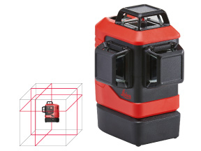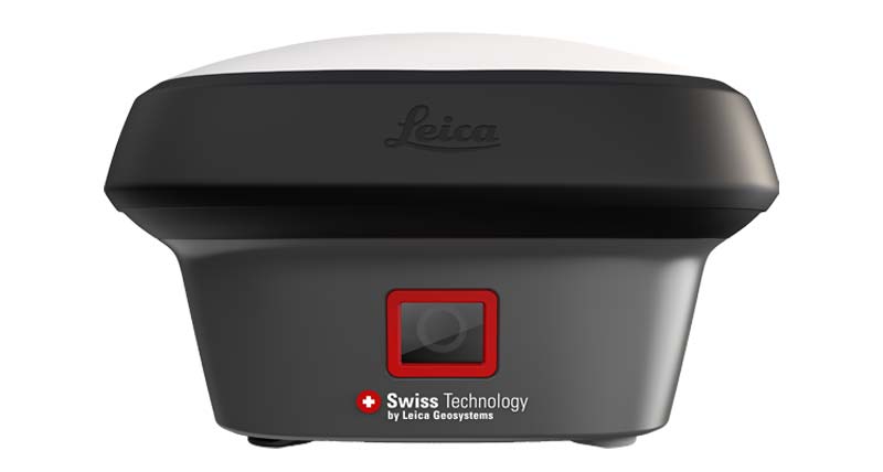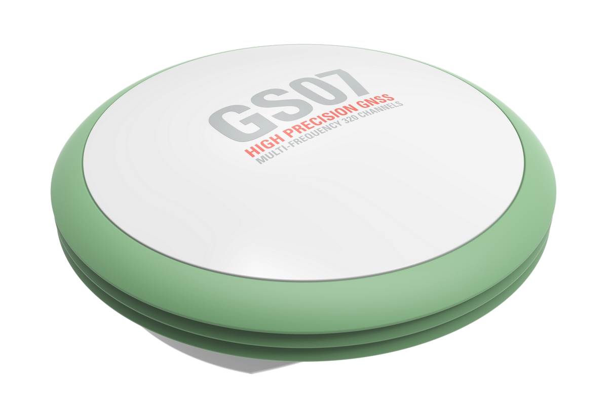
Leica GS07 GNSS
The Leica GS07 GNSS RTK Rover delivers precise, real-time positioning for surveying, construction, and mapping projects. Its compact, lightweight design ensures fast setup and efficient operation. Professionals gain reliable data that supports accurate decisions and optimizes workflow on every site.
Description
High-Precision Positioning
The GS07 provides centimeter-level accuracy using multi-constellation GNSS tracking and RTK corrections. It maintains consistent performance in challenging environments, including urban areas, dense vegetation, and remote locations, ensuring dependable results for all surveying tasks.
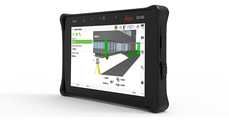
Intuitive and Efficient Operation
With tilt compensation and an ergonomic design, the GS07 reduces operator effort and setup time. Its user-friendly interface integrates seamlessly with Leica software, enabling fast data collection, processing, and real-time analysis.
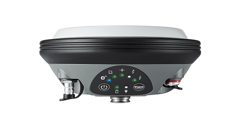
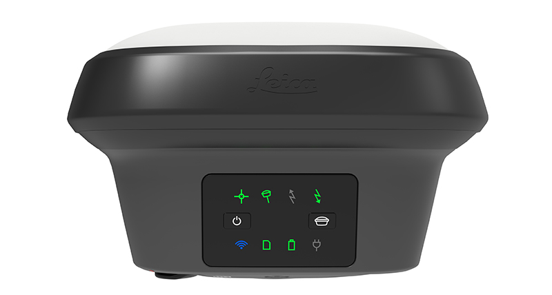
Durable and Reliable Design
Built to withstand harsh field conditions, the GS07 resists dust, water, and extreme temperatures. Intelligent power management ensures long operational life, providing uninterrupted performance during demanding projects.
Enhanced Productivity and Accuracy
The GS07 minimizes errors and rework by delivering accurate, real-time data. Surveyors and construction teams can optimize workflows, improve safety, and complete projects efficiently while maintaining confidence in every measurement.